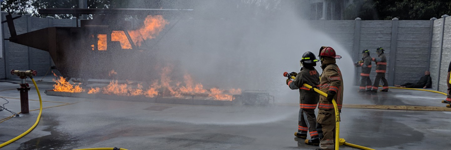
Modeling and Research
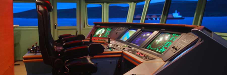
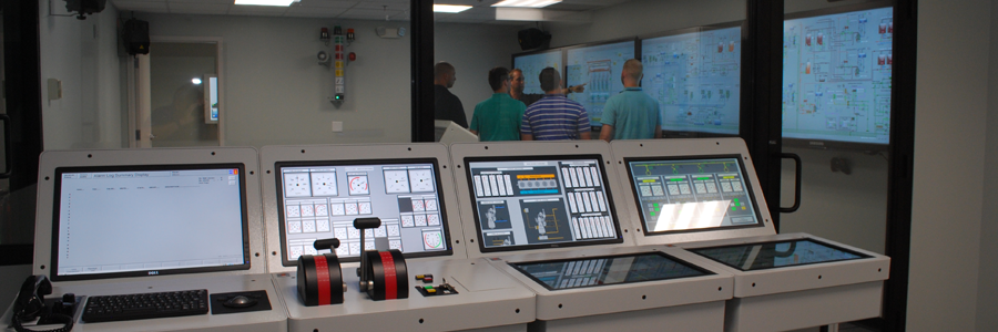
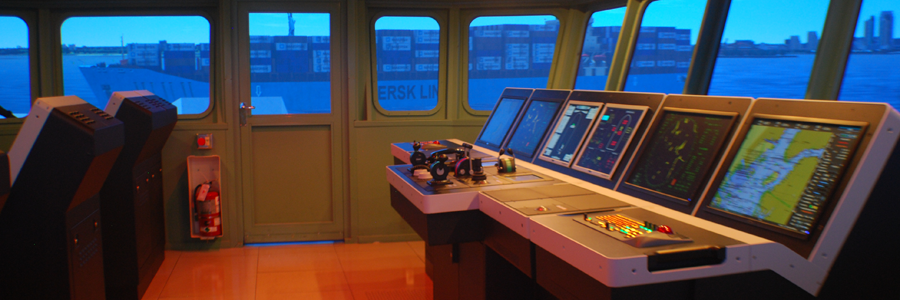
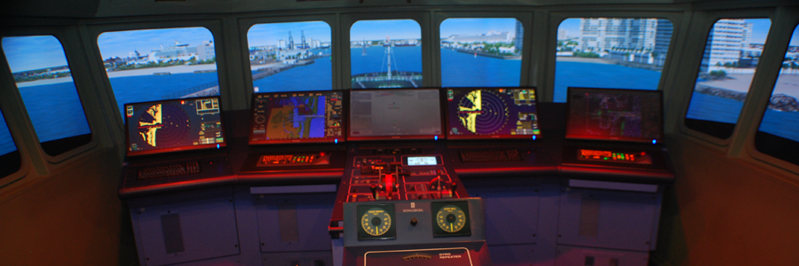
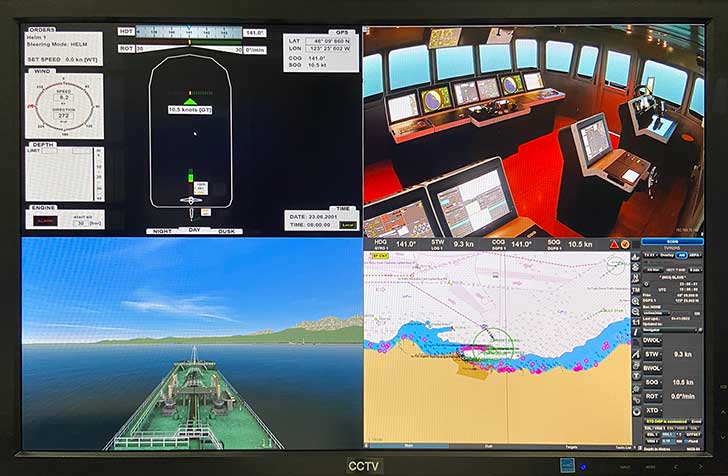
STAR Center's Modeling & Research department develops computer generated geographic ports, harbors, rivers, waterways and hydrodynamic ship models for real-time Simulation Training Assessment & Research using our full mission bridge simulators.
Initiating M&R Procedures
The initial contact point(s) for coordinating and scheduling a simulation based research project is:
Bruce Fuchs
Head, Modeling & Research
Tel: +(954) 921 7254
Fax: +(954) 920 4268
Prospective clients should be prepared to provide the necessary information that will enable STAR Center to understand the purpose and objectives of the project to determine the exact requirements of their study. STAR Center maintains an extensive library of databases (geographic areas) available to the client.
- Click here to see our list of U.S Geographic Databases
- Click here to see our list of International Geographic Databases
- Click here to see our list of Hydrodynamic Models
If a geographic database does not exist in our library we can, upon request, develop a database based on information within the public domain and information provided by the client. This information can be provided in electronic format, preferably Autocad® format.
If needed for database development, a site visit by a STAR Center representative can occur to gather information, meet with local authorities and/or pilots, photograph the area and ride on vessels to insure a full understanding of the port's operations.
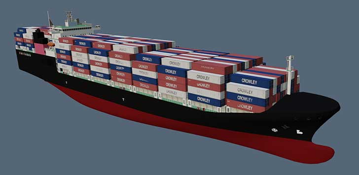
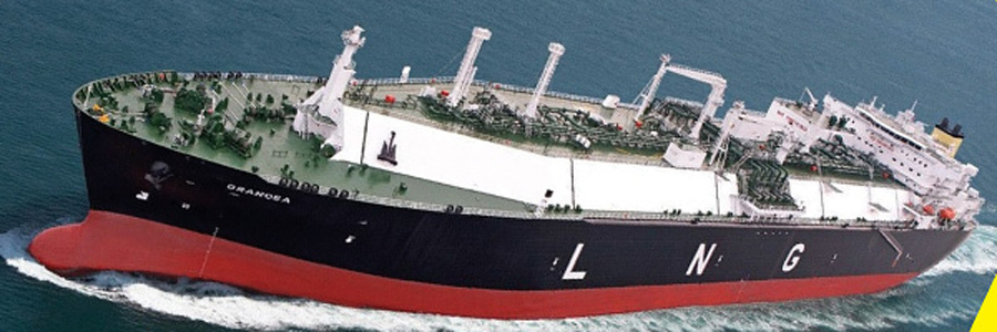
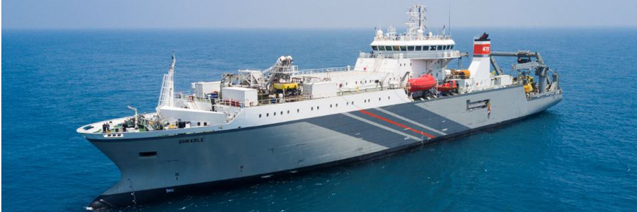
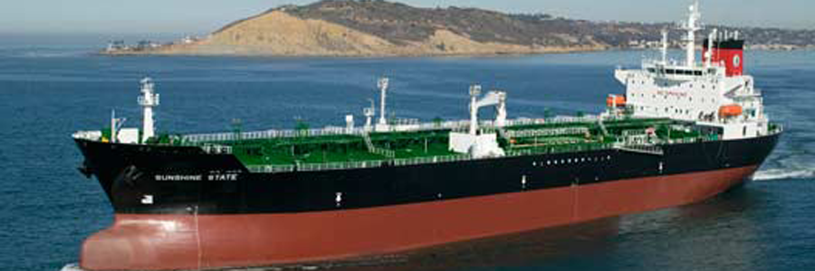
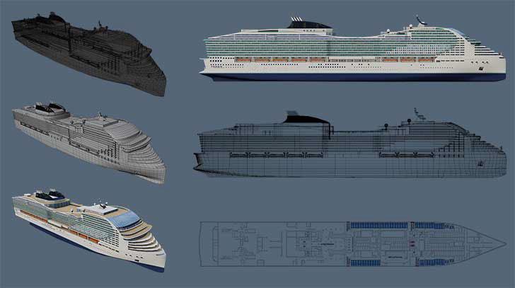
Consultation with a STAR Center representative can facilitate selection of an appropriate vessel for use in simulations. Hydrodynamic models of various types (tanker, LNG, containers, cruise ships, bulk carriers, etc.) are available in STAR Center's existing inventory. However, if a specific type of ship response model is required, we have an in-house hydrodynamicist on staff to develop specific ship models for custom needs.

Types of Research
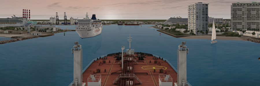
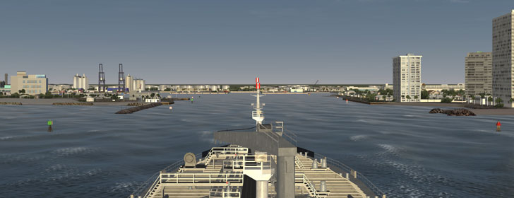
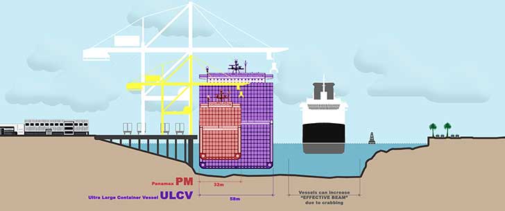
Use of STAR Center's geographic and hydrodynamic models within our simulation and research process enables STAR Center to examine new port design, pier or channel modifications and suitability of design for a particular vessel or vessel types that use, or may use, these facilities and waterways.
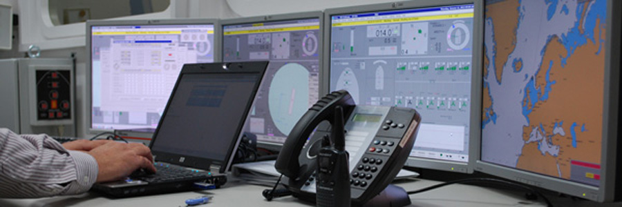
Participants can visit STAR Center during the running of the real time simulation phase of the project or participate remotely by observing the simulation from their location with a link provided by STAR Center.
At the conclusion of a research project, STAR Center will issue a written report that details the conduct of the study, observations, results and implications as well as provide solutions and recommendations based upon its objectives or any issues encountered.